Software
Geographical information systems
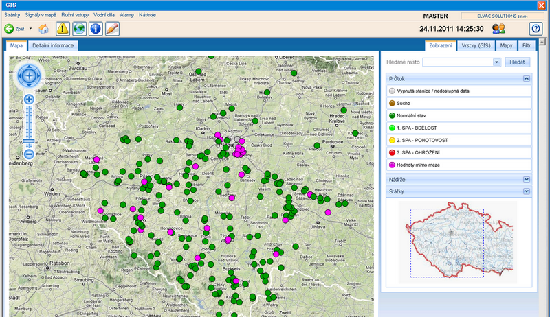
ELVAC SOLUTIONS offers comprehensive Geographic Information Systems (GIS) solutions.
These systems are developed and operated within an advanced GIS platform, the use of which brings a number of advantages and assurances for you and the end users of your mapping applications.
Do you have any questions or would you like to cooperate with us?
Write to us and we will get back to you.
Benefits of GIS
Seamless operation of systems.
Long-term sustainability of the system over time.
Interoperability (compatibility with a wide range of tools from different vendors through adherence to OGC standards).
Easy expandability.
Platform or operating system independence.
Possibility of publishing on the Internet in the form of a web application (Online GIS).
Online sharing and publishing of geographic data.
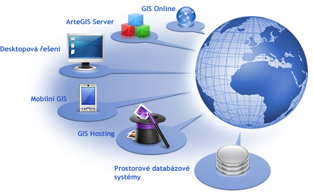
Thanks to the component-based approach we use, you can always get an application that exactly reflects your requirements and needs. So there is no need to pay for functionality that you will not use.
The most frequently requested GIS features include
- Seamless operation of systems.
- Long-term sustainability of the system over time.
- Interoperability (compatibility with a wide range of tools from different vendors through adherence to OGC standards).
- Easy expandability.
- Platform or operating system independence.
- Possibility of publishing on the Internet in the form of a web application (Online GIS).
- Online sharing and publishing of geographic data.
However, ELVAC SOLUTIONS’ GIS and mapping systems are not a bare product. Our specialists will safely guide you through all the pitfalls of specifying requirements, selecting the appropriate data (acquisition, purchase, field measurement or deployment of freely available data), designing the graphical interface (design) to deploying the system at your site or on our servers. We always try to provide a service exactly according to your needs.
However, our cooperation does not end with the deployment itself. We also provide management and service for the delivered system. We will ensure that the delivered system will be managed by a qualified GIS operator.
It is therefore possible to say that ELVAC SOLUTIONS’ GIS is a comprehensive service that brings you reliability at the highest technological level together with a personal approach throughout the entire process:
design of the mapping application in an internet environment development > deployment > operation.
